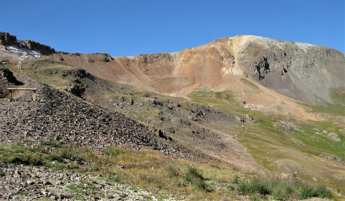
The Alpine Loop's southern pass, from Animas Forks down to the Lake Fork toward Lake City. Cinnamon Pass is a easy to moderate 12.0-mile off-road trail in the San Juan Mountains of Colorado, between Animas Forks and Lake City, topping out at 12,641 ft. It is usually open late June to mid-October.
Know before you go
- Animas Forks → · Ghost townMile 0.0
Animas Forks is a mining-era ghost town about 12 miles northeast of Silverton, at about 11,200 feet.
- Roughest half mileMile 0.3
The stretch just above Animas Forks is the roughest part of the road.
- Cinnamon Pass · 12,641 ftMile 2.2
- American Basin · WildflowersMile 3.2
A side road to a wildflower basin about a mile east of the summit. The flowers usually peak in mid-July.
How to get there
- DirectionsStart (mile 0)Start of the trailGPS 37.93389, -107.56866
- DirectionsEnd (mile 12.0)End of the trailGPS 37.90414, -107.41310
Side-by-sides are allowed on Lake City's streets, so on that side you can ride from town. Silverton bans them in town and has no official staging area: unload on County Road 2 at Howardsville, with your truck and trailer fully off the road.
History
Cinnamon Pass links Animas Forks with the Lake Fork valley above Lake City. The 1874 Hayden Survey judged the pass unfit for wagons, but Enos Hotchkiss finished a wagon road over it in 1877, linking Lake City with the Animas valley mines.
- It's the southern of the Alpine Loop's two high passes. Engineer Pass is the other.
- Charles Baker explored the area for gold in 1860, years before the wagon road.
- On the east side, the road passes Burrows Park, where Charles Burrows prospected in 1873, and an overlook of the Sherman ghost town site.
- American Basin, about a mile east of the summit, is known for its July wildflowers.