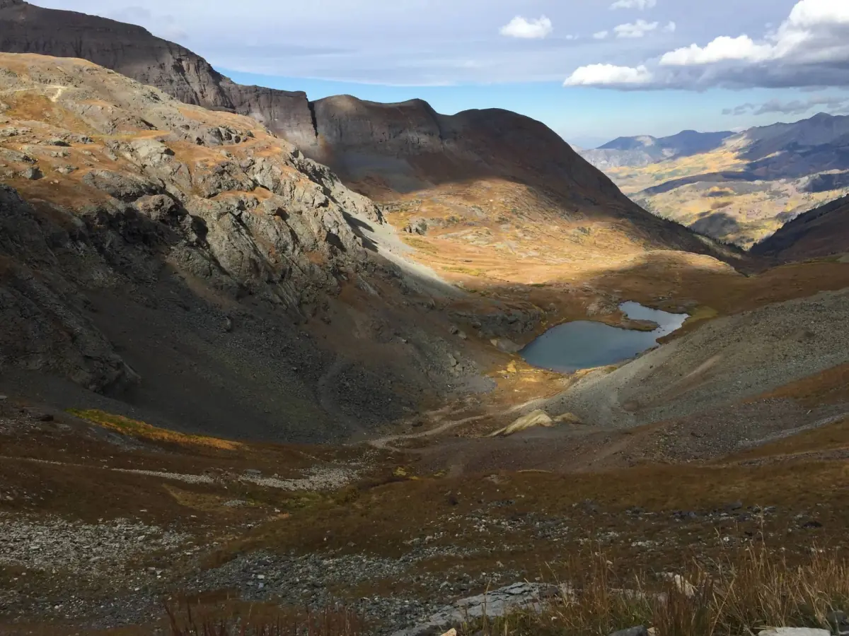
One-way downhill from the top toward Telluride. Steep, exposed switchbacks. Black Bear Pass is a difficult 7.3-mile off-road trail in the San Juan Mountains of Colorado, between US 550 at Red Mountain Pass and Telluride, topping out at 12,828 ft. It is usually open mid-July to September.
Know before you go
- iOne way: downhill into Telluride
- Mile 0.0
The Idarado Mine is a large mining operation whose remains you can see from US 550, north of Red Mountain Pass.
- Black Bear Pass · 12,828 ftMile 3.2
One-way downhill from here toward Telluride. No uphill traffic on the switchbacks.
- Ends in TellurideMile 7.3
Side-by-sides and other off-highway vehicles aren't allowed on Telluride town streets. Plan to trailer out or turn around.
- Bridal Veil Falls → · WaterfallMile 7.3
Bridal Veil Falls is a 365-foot, two-pronged waterfall at the head of the box canyon above Telluride.
How to get there
- DirectionsStart (mile 0)Black Bear Pass TrailheadGPS 37.89667, -107.71335
- DirectionsEnd (mile 7.3)Via Ferrata Upper TrailheadGPS 37.91949, -107.76774
No easy trailer lot at the top. OpenStreetMap shows a large-vehicle lot off US 550 near the trailhead. Plan a shuttle, because the Telluride side is one-way downhill and side-by-sides can't use Telluride streets.
History
Black Bear Pass climbs from Red Mountain Pass on US 550 to a 12,840-foot summit, then drops down tight switchbacks into Telluride. In the 1800s a wagon road ran from Red Mountain Pass into Ingram Basin to haul ore from the Black Bear Mine. The road later fell out of use, and the Telluride Jeep Club reopened it to traffic in 1959.
- The road is officially Forest Service Road 648, and it crests at 12,840 feet.
- Most of the road is one-way, downhill from Red Mountain Pass toward Telluride.
- The road passes Bridal Veil Falls, the highest waterfall in Colorado.
- Country singer C. W. McCall released a song and album called "Black Bear Road" in 1975.