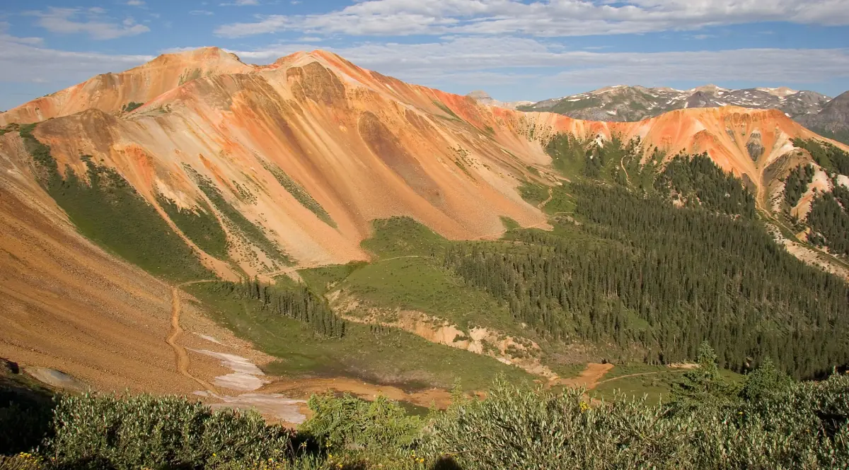
Tight switchbacks over red iron-stained peaks to the Red Mountain area. Corkscrew Gulch is a moderate 4.5-mile off-road trail in the San Juan Mountains of Colorado, near Ouray. It is usually open July to September.
Know before you go
- Mile 1.2
The Idarado Mine is a large mining operation whose remains you can see from US 550, north of Red Mountain Pass.
- Red Mountain Town → · Ghost townMile 2.4
Red Mountain Town is a silver-mining ghost town south of Ouray, near US 550.
- Corkscrew PassMile 3.4
How to get there
- DirectionsStart (mile 0)Start of the trailGPS 37.93654, -107.66959
- DirectionsEnd (mile 4.5)End of the trailGPS 37.91035, -107.64535
Riders report a large lot off US 550 at the trailhead, about 15 minutes south of Ouray.
History
Corkscrew Gulch is a mining-era road that climbs from US 550 near the Red Mountain mining district over a 12,217-foot pass. It was built in 1882–1883 as an alternate route from the Red Mountain mines to Silverton. It linked Ironton, Red Mountain Town, and other camps with Gladstone and then Silverton.
- The road was part of an early race to build wagon roads from Silverton and Ouray to the silver mines near Red Mountain Pass.
- Otto Mears's Silverton Railroad placed a turntable right on its main line at Corkscrew Gulch.
- The turntable was covered by a snowshed so trains could keep running into the winter.