At a glance
- What it is
- A lake at 12,215 feet at the head of Poughkeepsie Gulch.
- The story
- It's where the Uncompahgre River starts, the same river that runs past Ouray.
- Getting there
- Poughkeepsie Gulch is for expert drivers only, and the BLM calls a winch almost mandatory. For an easier view, look down from California Pass.
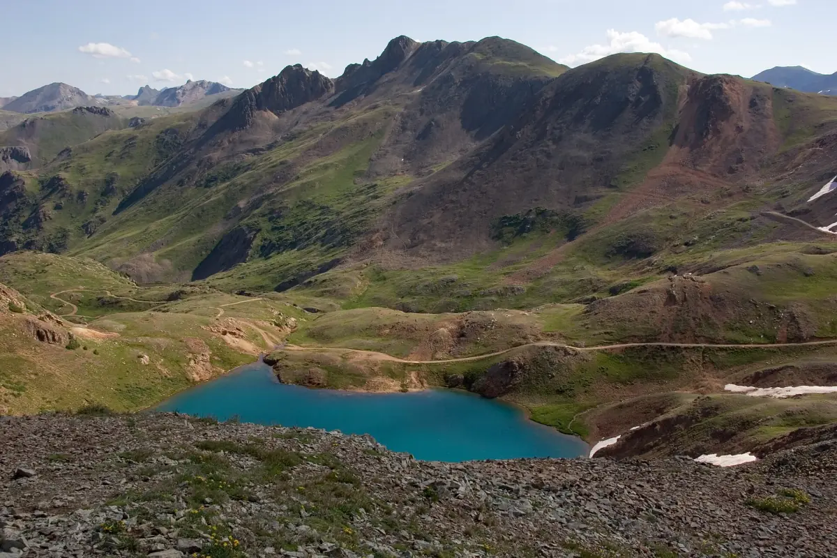
The Uncompahgre River, the one that runs past Ouray, starts as a small lake at 12,215 feet, at the top of one of the hardest roads on the Alpine Loop. That lake is Lake Como. It sits at the head of Poughkeepsie Gulch, and the BLM says a winch is "almost mandatory" for the drive up.
The Uncompahgre River starts here
It sounds like a trick question on a geography quiz, but it's true. Lake Como is the headwaters (the starting point) of the Uncompahgre River. From here the water heads down past Ouray, Ridgway and Montrose, then joins the Gunnison River at Delta, about 75 miles downstream.
So the river you see in Ouray got its start up here. That's the longest field trip a drop of snowmelt ever took.
A packers' camp on the lake by 1878
Long before anyone drove here for fun, this lake was a pit stop. One trail history, from 4x4explore.com, says freight packers hauling goods between Silverton and Ouray were keeping a camp on Lake Como by 1878.
Think of it as the rest stop on the 1878 family road trip. Everybody piles out, stretches, looks at the lake, and nobody wants to get back in for the next stretch.
Poughkeepsie, the camp with its own newspaper
According to that same trail history, the packers' camp grew into a mining camp called Poughkeepsie. The area had been heading this way for a while. A Poughkeepsie Mining District was carved out of the Eureka district in 1875 to 1876, and by 1877 six mines were in limited production, packing their ore out to the Greene Smelter in Silverton.
In 1879 William Boot opened the camp's first store and saloon, and a restaurant followed. Local investors built a toll road up Cement Creek to Gladstone and on to the head of Poughkeepsie Gulch. By 1880 there was a post office, nine producing mines, and a newspaper: the Poughkeepsie Telegraph, printed by Lucius B. Kendall. A camp this high putting out its own paper is like a one-room schoolhouse printing a yearbook. Respect.
The big hope was the Alaska mine. Alfred Hard bought it in 1878, Horace Tabor (Colorado's famous silver king) put money into it, and the Alaska Consolidated Mining Company was formed. In 1881 the Alaska went bust and Tabor lost interest. That winter most residents left and never came back. When the railroad reached Silverton in 1882, Poughkeepsie missed out on the boom.
There were a couple of encores. Standard Oil briefly reopened the Maid of the Mist mine from 1899 to 1901, and a small camp hung on at the mouth of the gulch with a store, a restaurant and saloon, cabins and mail service. The Alaska was later sold for back taxes Tabor owed. By the early 1900s the camp was gone. Today the Old Lout and Poughkeepsie mines survive as tailings piles beside the road.
I should be upfront here. Nearly all of the Poughkeepsie story comes from that one trail history, and I couldn't check it against a second source. I also couldn't find anyone who explains where the name Lake Como came from, so I'm not going to guess.
Visiting Lake Como today
Lake Como sits on the Poughkeepsie Gulch road (FR876 / CR58), which runs 4.52 miles and climbs from about 10,135 to 12,520 feet. It connects the Engineer Pass road with the California Gulch and Hurricane Pass roads. The road crosses the lake's outlet and runs along its side about a quarter mile before that junction.
This is not a casual drive. 4x4explore rates it Difficult, 8 out of 10, and says to allow 4 to 5 hours. The main obstacle is a rocky ledge, with a bypass on its left. The BLM puts it more plainly:
This is extremely rugged terrain. Extensive experience handling a vehicle in rough conditions is demanded. A high-clearance, four-wheel drive vehicle is required, and a winch is almost mandatory.Bureau of Land Management, Alpine Loop brochure, 2023
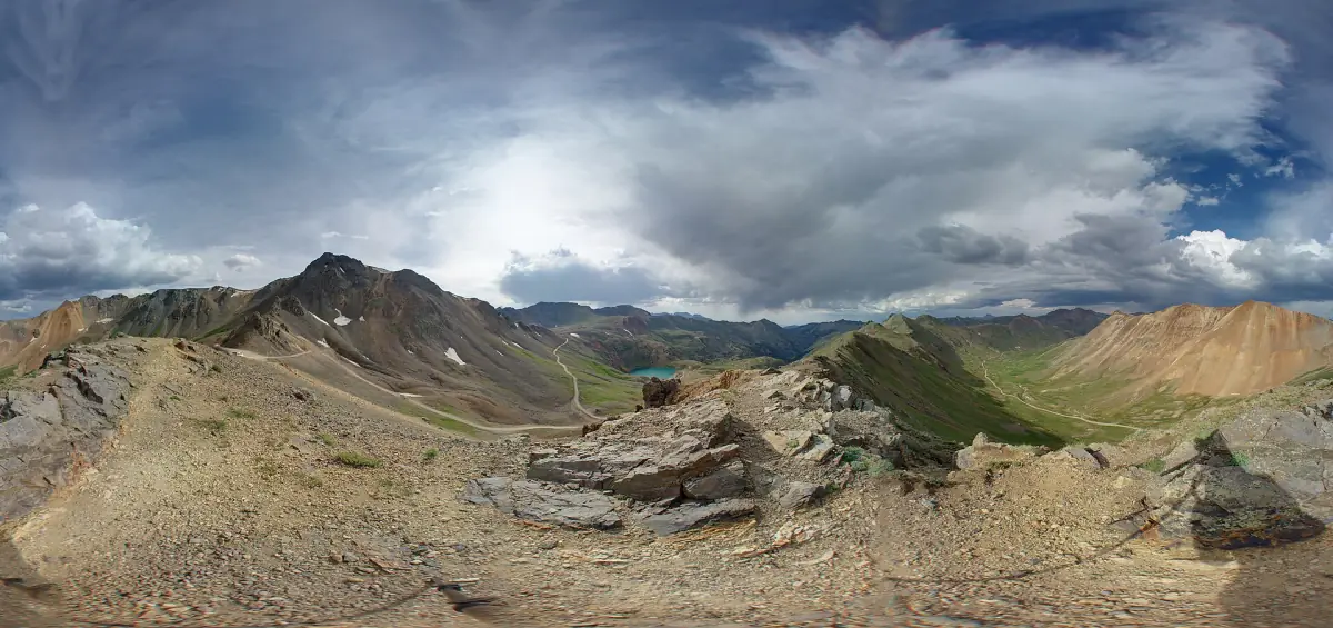
If that's not you, there's another way to see the lake. California Pass, southeast of Lake Como, looks right down on it. Go in July, August or September. From up there you can follow the gulch downhill with your eyes and know that the river at the bottom, the one that runs past Ouray, starts right here.