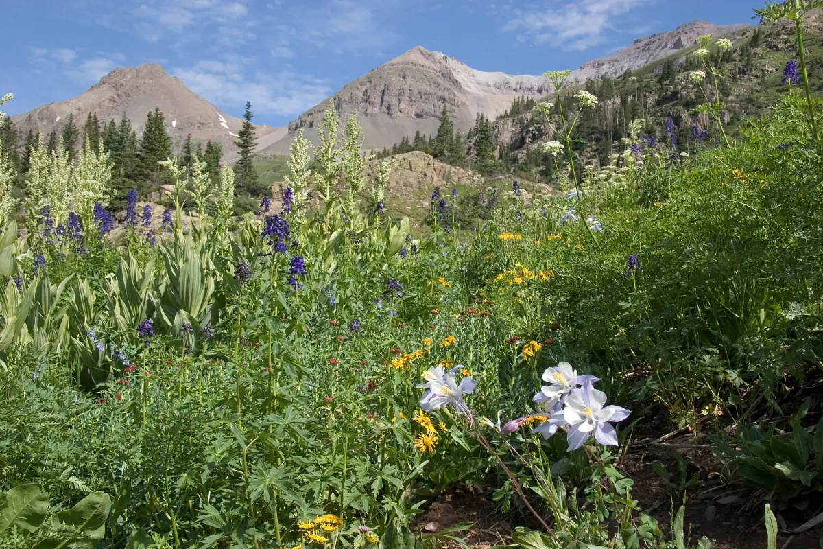
Wildflower basin beneath Mount Sneffels. Upper section gets rough. Yankee Boy Basin is a easy to moderate 4.7-mile off-road trail in the San Juan Mountains of Colorado, near Ouray. It is usually open June to October.
Know before you go
- Camp Bird Mine → · MineMile 0.3
The Camp Bird Mine is a famous gold mine between Ouray and Telluride.
- Sneffels and the Revenue Mine → · Ghost townMile 1.5
Sneffels was a mining town on the road to Yankee Boy Basin, named after nearby Mount Sneffels.
How to get there
- DirectionsStart (mile 0)Start of the trailGPS 37.97500, -107.72442
- DirectionsEnd (mile 4.7)End of the trailGPS 37.99559, -107.78501
Side-by-sides can't be ridden on Ouray town streets, so unload south of town. Riders report plenty of room to stage along Camp Bird Road, and unlicensed vehicles should start from this Ouray side.
History
Yankee Boy Basin is a high alpine basin southwest of Ouray, inside the Uncompahgre National Forest. A four-wheel-drive road branches off the Camp Bird Road to reach it. The basin is known for its summer wildflowers and for Twin Falls on Sneffels Creek.
- On the way up, the road passes the site of Sneffels, a mining town founded in 1875.
- Sneffels grew to about 2,000 people at its peak.
- The Revenue Mill at Sneffels processed ore from the Virginius and other nearby mines and employed about 600 men at its peak.