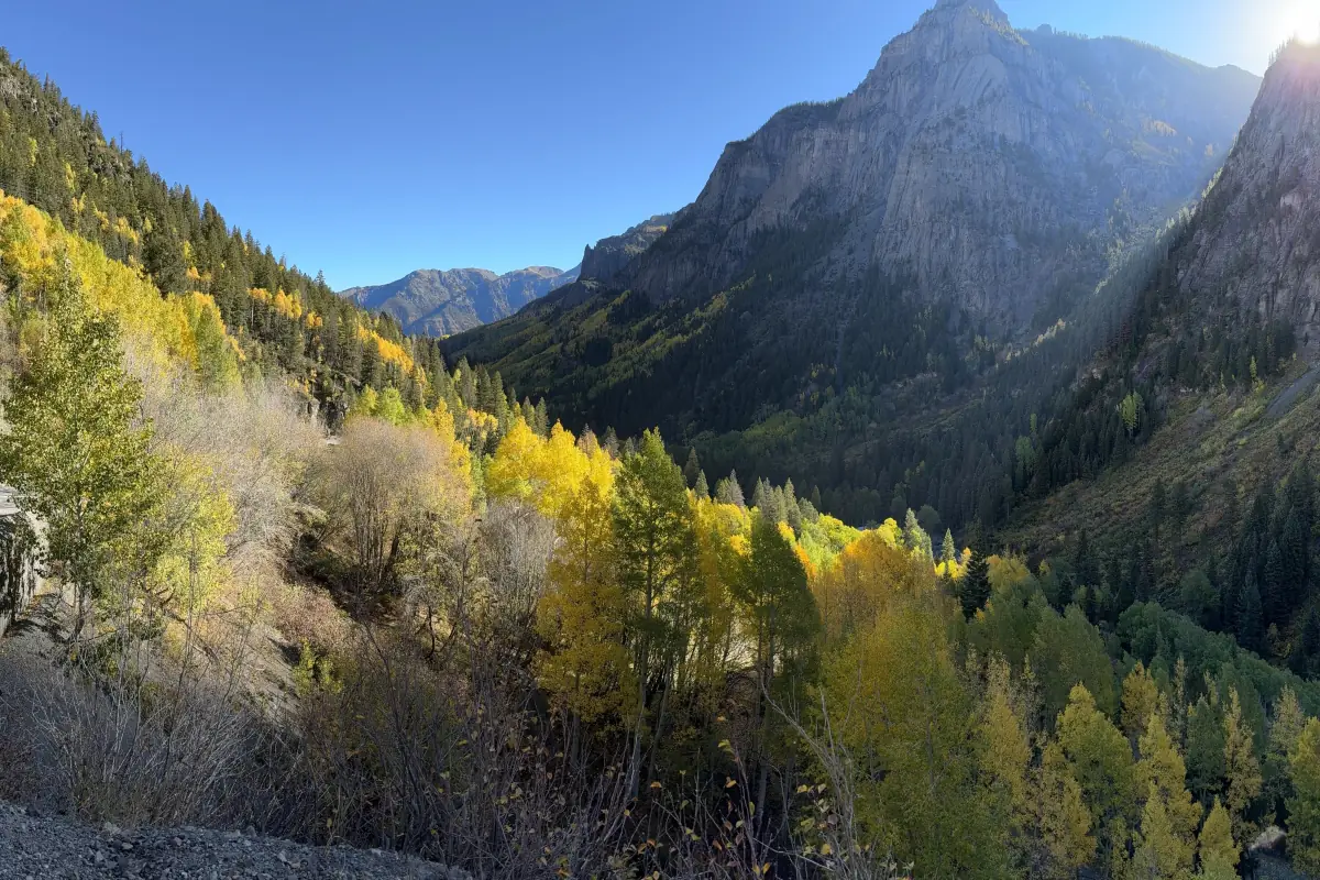
Graded road up Canyon Creek. Gateway to Yankee Boy and Imogene. Camp Bird Road is a easy 5.6-mile off-road road in the San Juan Mountains of Colorado, near Ouray. It is open most of the year, lower section.
Status
No source has reported on this trail yet. Call before you go.
Know before you go
- Mile 0.0
Ouray is a former mining town at 7,792 feet, at the narrow head of a valley ringed by steep mountains.
- Camp Bird Mine → · MineMile 4.9
The Camp Bird Mine is a famous gold mine between Ouray and Telluride.
How to get there
- DirectionsStart (mile 0)Sutton Mine TrailheadGPS 38.01770, -107.67468
- DirectionsEnd (mile 5.6)End of the trailGPS 37.96635, -107.72898
Side-by-sides can't be ridden on Ouray town streets, so unload south of town. Riders report plenty of room to stage along Camp Bird Road, and unlicensed vehicles should start from this Ouray side.
History
Camp Bird Road climbs from Ouray toward the Camp Bird Mine. It is the gateway road to Yankee Boy Basin, Governor Basin, and Imogene Pass. One trail history says Otto Mears built it as a toll road to serve the mines in those basins.
- Thomas Walsh bought the Gertrude and Una mines in upper Imogene Basin in 1896, and they became the Camp Bird Mine.
- Walsh sold the Camp Bird Mine in 1902 for $5.2 million.
- The Camp Bird produced about 1.5 million troy ounces of gold from 1896 to 1990.