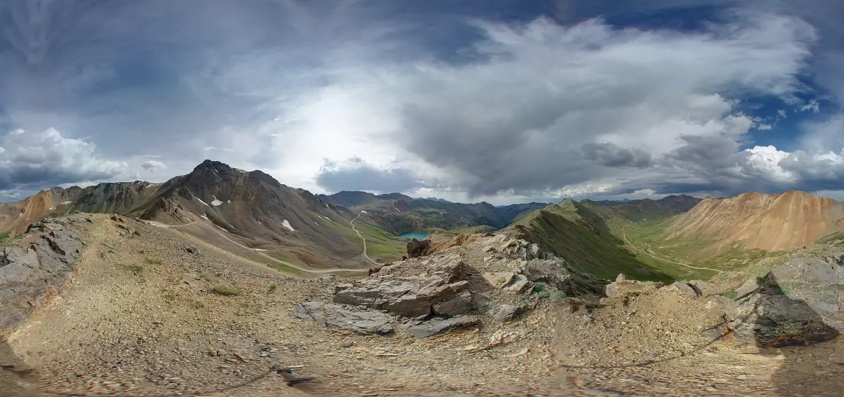
Rock ledges and tight lines. Built-up rigs only. Poughkeepsie Gulch is a difficult 3.8-mile off-road trail in the San Juan Mountains of Colorado, near Ouray. It is usually open July to September.
Know before you go
- The WallMile 2.5
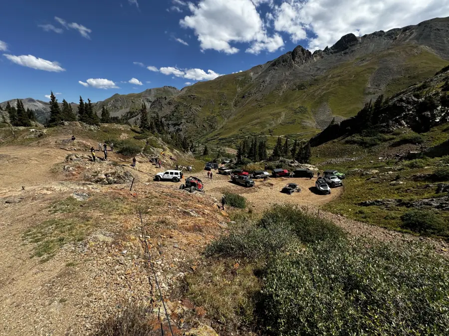
An optional rock obstacle just off the main road: embedded rocks with several lines that challenge even built rigs. Many vehicles need a winch, and winch anchors line the top. It can be impossible when wet.
- Lake Como → · LakeMile 3.4
Lake Como is a high alpine lake on the Poughkeepsie Gulch road, in San Juan County.
How to get there
- DirectionsStart (mile 0)Start of the trailGPS 37.96723, -107.62711
- DirectionsEnd (mile 3.8)End of the trailGPS 37.92055, -107.61980
Reached from Engineer Pass Road. Stage at the Alpine Loop lot on US 550 south of Ouray.
History
Poughkeepsie Gulch is a steep mining road that leaves the Engineer Pass road and climbs past Lake Como to meet the Hurricane Pass road. Prospectors named it after an old, long-abandoned mine they found at the head of the gulch. More discoveries in 1875 and 1876 led to a separate Poughkeepsie Mining District.
- In 1879, local investors paid for a toll road up Cement Creek to Gladstone and on to the head of the gulch, to reach H.A.W. Tabor's mines.
- As early as 1878, freight packers traveling between Silverton and Ouray kept a camp at Lake Como.
- The Bureau of Land Management calls the route extremely rugged and says a winch is almost mandatory.