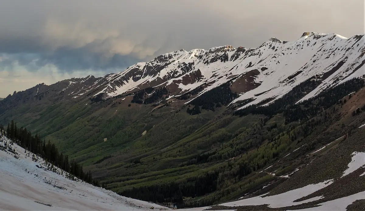
Loose talus shelf road between US 550 and the town of Ophir. Ophir Pass is a easy to moderate 7.2-mile off-road trail in the San Juan Mountains of Colorado, between US 550 and the town of Ophir, topping out at 11,788 ft. It is usually open June to October.
Know before you go
- Ophir Pass · 11,788 ftMile 4.2
How to get there
- DirectionsStart (mile 0)Ophir Pass TrailheadGPS 37.84756, -107.72475
- DirectionsEnd (mile 7.2)Ophir Pass TrailheadGPS 37.85637, -107.82409
Side-by-side trailer parking Reported, not confirmed
OpenStreetMap shows a large-vehicle lot on US 550 about 2 miles from the east trailhead. Riders say Silverton requires trailering outside town.
History
Ophir Pass connects US 550 near Silverton with Colorado 145 at Ophir, near Telluride. The Navajo used the route on hunting trips between the San Miguel and Animas valleys. In 1881 crews built a toll road over the pass, and the road opened that August.
- The toll road cost about $15,000 to build.
- Railroads reached the area by 1891, and the pass road fell out of heavy use.
- The current road over the pass opened in 1953 for four-wheel-drive travel.
- The route tops out at 11,789 feet.
Sources: 4x4explore.com