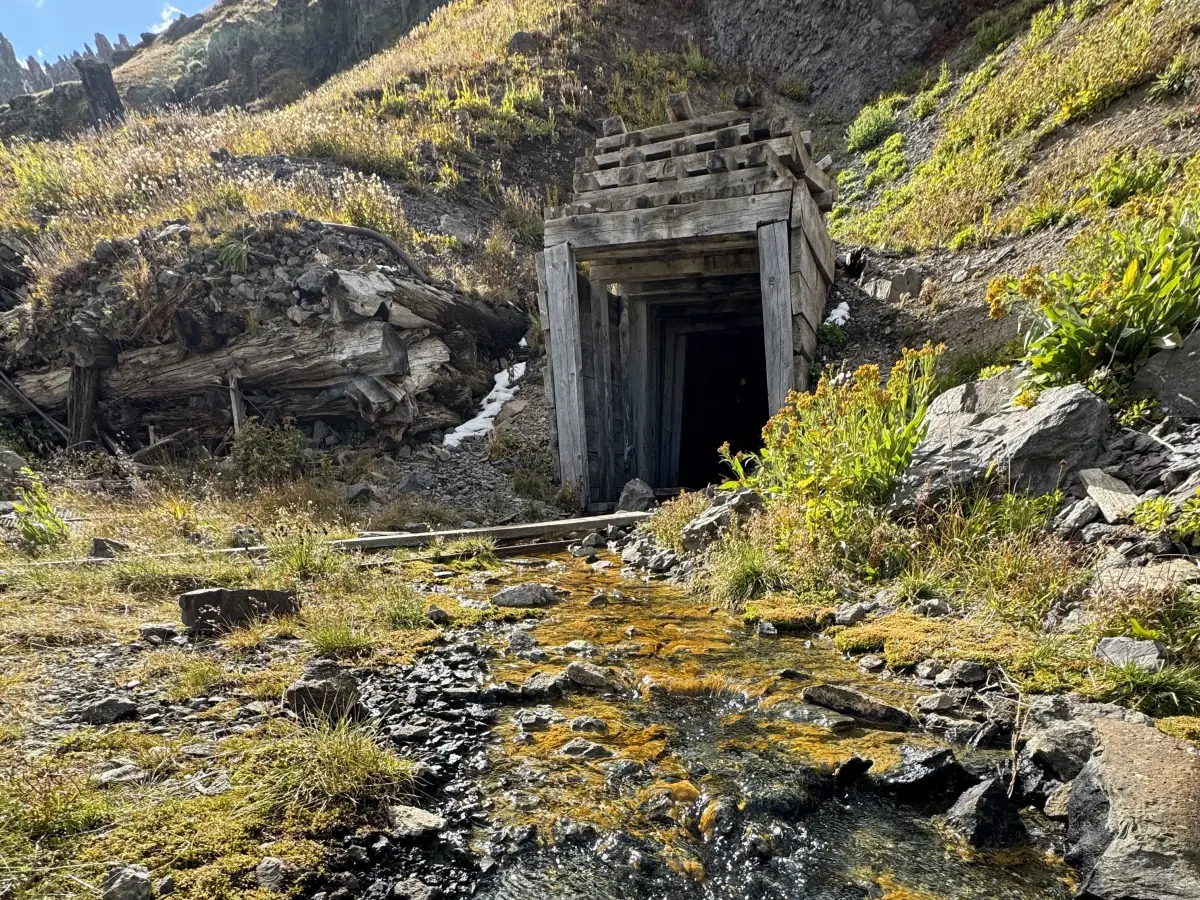
Narrow shelf road to old mine ruins above Yankee Boy. Governor Basin is a difficult 2.9-mile off-road trail in the San Juan Mountains of Colorado, near Ouray. It is usually open July to September.
Know before you go
- Sneffels and the Revenue Mine → · Ghost townMile 0.0
Sneffels was a mining town on the road to Yankee Boy Basin, named after nearby Mount Sneffels.
How to get there
- DirectionsStart (mile 0)Start of the trailGPS 37.97931, -107.75899
- DirectionsEnd (mile 2.9)End of the trailGPS 37.97251, -107.77735
Side-by-sides can't be ridden on Ouray town streets, so unload south of town. Riders report plenty of room to stage along Camp Bird Road, and unlicensed vehicles should start from this Ouray side. Governor Basin branches off the Yankee Boy road.
History
Governor Basin sits above 12,000 feet, high above the Sneffels area southwest of Ouray. The road was a working route to mines such as the Virginius, one of the richest silver mines in the district. The Virginius was later connected to the Revenue Mine below by the Revenue Tunnel.
- A sign in the basin marks the Virginius Mine's discovery in 1876.
- Albert E. Reynolds and John H. Maugham bought the Virginius Mine in 1880.
- In 2022, several groups began a project to restore the old Virginius and Terrible mine sites in the basin.